

The San – Namibia’s earliest inhabitants
March 9, 2017
A walk in the park
March 14, 2017
Text Sharri Whiting De Masi | Photographs Paul van Schalkwyk
In the middle of the Namib – the world’s oldest desert – where a carpet of sandy plains and dunes unrolls towards every horizon, it may be natural to think there’s no water anywhere in Namibia. Au contraire!
T o the west, the desert becomes a 1 575-kilometre stretch of beach when it reaches Namibia’s Atlantic coast. Then there is the northern border, the Kunene River, a ribbon of 1 376 kilometres that separates Namibia from Angola. Add to that the 550 kilometres of the Orange, Africa’s longest river (2 200 kilometres), which divides Namibia and South Africa, beginning at the 20th degree of east longitude and extending westwards to the Atlantic.
Total these three borders and you have a Namibian waterfront of some 3 500 kilometres, without even counting the rivers in the far north-eastern Zambezi Region, a watery paradise in its own right.
We began this Surf and Turf trip at Serra Cafema Lodge on the Kunene River, where food and service are unmatched. The drive from airstrip to lodge, through spectacular desert scenery, ends abruptly in a river valley lined with lush vegetation. The Kunene rushes over falls in various places, but there are enough slow-running spots in between for crocs to sun themselves on big rocks.

Dozens of species of indigenous birds and animals inhabit the trees and climbing plants on the river’s edge, and wildlife is abundant in the adjoining desert. The local Himba villages, some occupied and some not, depending on the itineraries of the semi-nomads, fit into the topography as naturally as the mountains and dunes.
After two glorious days in the middle of nowhere, we fly along the course of the Kunene all the way to the coast, where the river broadens as it flows into the sea. This is one of the most remote parts of Namibia, difficult to reach without an aircraft.
Turning south, we follow the Skeleton Coast, 500 kilometres of light and shadow, sand and water. The contrast between wet and dry is stark, amazing, and dramatic, etching indelible memories. The colours – navy and marine blues, yellows, beiges, rusty reds – and the shapes – curves of sand and beach windblown into an undulating line of living ocean and dunes – change by the second in response to sun, cloud and wind. We have put our feet in the sands of the Skeleton Coast before, but flying over it adds a whole new dimension.
We circle the seals at Cape Cross, engaging different senses than those we associated with these animals in the past, as in incredibly loud and extremely smelly. Viewing 100 000 seals from the air conjures up an image of a very large anthill, until you drop down close enough for Africa’s largest Cape fur seal colony to fill up the entire wide-angle lens with large writhing creatures. We ask the same question we ask on crowded Italian beaches – with so much coastline to choose from, why don’t they spread out a little?
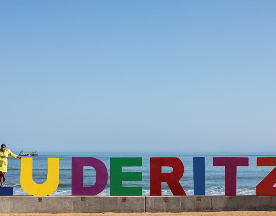
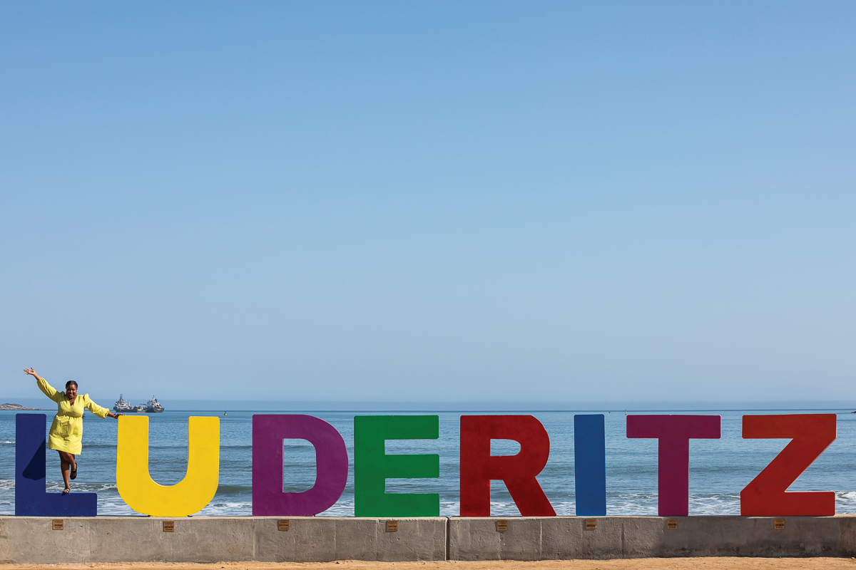
Further down the coast, we land at Swakopmund and enjoy a lunch of kabeljou, caught that very morning. We love this old German coastal resort, which flirts with its weather a little like Venice, continually going from bright, clear sunshine and cobalt blue skies to moody grey fog rolling in from the ocean.
After lunch it’s back to the airport and the flight to Kulala Desert Lodge. This coastal route takes us over Sandwich Harbour and then southwards, where the 40 000 square kilometres of the Namib-Naukluft Park edge the water. About three quarters of the way down the coast, we turn inland over the vast dune sea. No matter how many times you fly, drive, walk, or climb these dunes, they look different every day. The patterns change endlessly and the colours reflect the angle of the sun as it passes from east to west, creating new and marvellous panoramas.


During the two days at Kulala Desert Lodge, we admire the rare sight of a water-filled Sossusvlei, and dramatic sunsets over the dunes, before continuing our journey further south by road. After passing the mining town of Rosh Pinah, we enter a moonscape of giant grey boulders and rock formations. This landscape continues for miles on both sides of the road until – bingo! – we round a curve, and spread before us is the Orange River, fringed with palm trees and greenery, reflecting the blueness of the sky. The river that forms Namibia’s southern border has offered up its diamonds in the past. Now it feeds thousands of hectares dedicated to the cultivation of table grapes.
We stop for two nights at Felix Unite, where the chalets sit on a bluff, affording a grand view of the river, and where people come from all over to enjoy water sports. We drive a few kilometres to a field of petroglyphs, where we wander around in the late afternoon sun, puzzling at the designs carved into the rocks thousands of years ago.
But the river is beckoning. It is time to get our feet wet. The next morning we climb into canoes 15 kilometres east of the lodge and paddle westwards. We are quasi-canoe ingénues, but the river is essentially placid, with only a few sets of doable rapids (or so we think!). The birds are extraordinary, so huge their shadows block the sun momentarily when they fly overhead. No crocs or hippos here.
Just before we reach the lodge, after successfully traversing two rapids and, feeling quite proud of ourselves, we slide over a big rock hidden under the surface of the river and flip the canoe. In the river at last!
Soaked and exhilarated, albeit slightly embarrassed to capsize in front of the lodge, we swim to shore. Honestly, this is the perfect ending to a water-focussed trip, from the Kunene to the Atlantic to the Orange River.
This article was first published in the Flamingo February 2013 issue.