
The magic of an Outpost
April 30, 2019
Opuwo Rhino Cup on World Rhino Day 2018
May 23, 2019
[vc_row][vc_column][vc_column_text]
Text and Photographs Annabelle Venter
[/vc_column_text][/vc_column][/vc_row][vc_row][vc_column][vc_column_text]
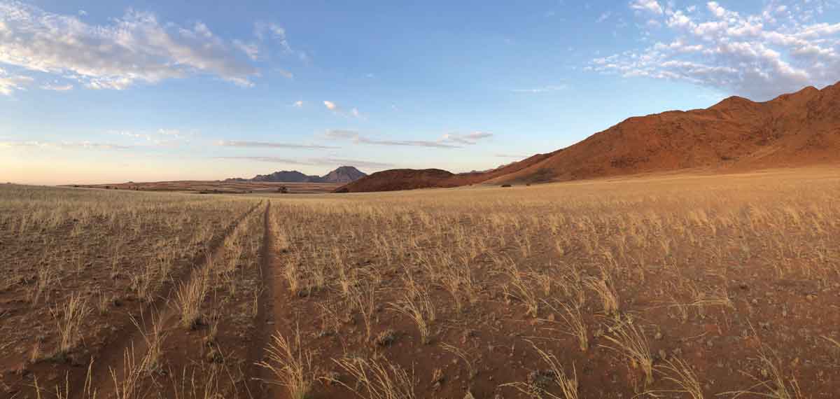
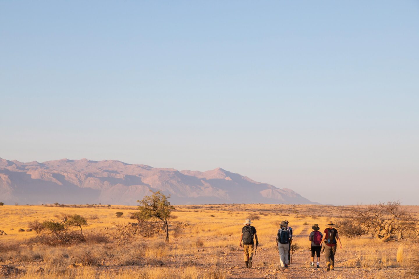
We wake early and it’s still dark on the banks of the Okavango River. The young Pel’s Fishing Owl is calling mournfully to its mum somewhere out there in the forest as we sip our first coffee for the day. Donning hiking boots, sunhats and packing lots of water (plus a few beers for rewards later on), we’re off to Tsodilo before the sun rises. It’s only about 50 km from where we are staying but it’s just past Christmas and the rains haven’t arrived yet this year. Oppressive cloud build-up can make the Botswana riverfront feel like a sauna!
[/vc_column_text][/vc_column][/vc_row][vc_row][vc_column][vc_column_text]
We catch our first glimpse of Tsodilo Hills just as the sun rises and we’re not a moment too soon, arriving as the gate opens and the first guide strolls in. You could walk these routes on your own but you’ll miss a lot of the information and interpretation.
Our host, Lloyd Wilmot, has climbed Tsodilo many times in the past, often landing his plane with guests on the nearby airstrip. Today he’s feeling the heat and opts to read a new book in the shade of the parking area while we sweat off a few kilos!
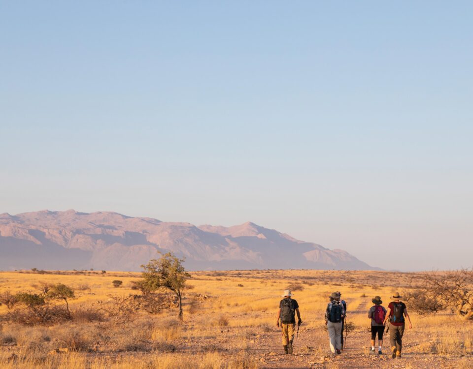
We’re doing the Rhino Trail today and set off with our guide Thebe, tackling the steepest part head on. Straight up we go, boulder hopping and climbing past beautiful trees, lichens and serenading birds. There is a short section of ladder and boardwalk to increase accessibility to the steepest and wettest areas. We gratefully pause in a shaded gulley near the top of the ‘female’ hill to appreciate the ancient rock art, so exquisitely positioned with breath-taking views over the surrounding plains.
The Tsodilo Hills are situated in the north-western corner of Botswana, quite close to Namibia’s Muhembo border post. There are four main hills in order of size: male, female, child – and first wife a little further away!
[/vc_column_text][/vc_column][/vc_row][vc_row][vc_column][vc_single_image image=”57877″ img_size=”full” alignment=”center”][/vc_column][/vc_row][vc_row][vc_column width=”1/2″][vc_single_image image=”57874″ img_size=”full”][vc_separator color=”custom” style=”dotted” border_width=”3″ accent_color=”#808000″][vc_column_text]
TOP
Van der Post or Eland Panel
ABOVE
Lichens cover the rocks everywhere
RIGHT
Grooves from San stone grinding work
[/vc_column_text][vc_separator color=”custom” style=”dotted” border_width=”3″ accent_color=”#808000″][/vc_column][vc_column width=”1/2″][vc_single_image image=”57873″ img_size=”full”][/vc_column][/vc_row][vc_row][vc_column width=”1/2″][vc_column_text]
These four hills rise majestically above an otherwise flat Kalahari and roughly cover an area of about 10 km2. The hills hold such significant historical, archaeological and cultural importance, recording life here for the last 100 000 years, that they were declared a National Monument in 1927 and a UNESCO World Heritage Site in 2002.
Over 4500 San paintings dot the hills in caves, on open rock faces, in crevices and simply around the base, making this an easily accessible art gallery to visit. Two of the most famous pieces seem to be the Rhino Panel, after which the walk around the female hill is known, and the Eland Panel, locally signposted as the ‘Van der Post’ Panel. Explorer Laurens van der Post left an apologetic note in a bottle at the foot of the Eland Panel in 1954, after supposedly offending the resident ancestral spirits on a filming trip. The paintings are particularly interesting in that they are isolated from other rock art, the nearest being 250 km away, and depict many domestic animals as well as wildlife, humans and even whales and penguins! Large wildlife is relatively limited here except for the antelope which manage to survive in the dry environment; signs of leopards are seen but seldom the animals themselves.
One feels a special kind of peace while following the path from one painting to the next. It’s as if the ancient people were keeping you company on this little journey and trying to share their experiences from all those years ago. On the summit of the female hill we’re surprised to find a few majestic baobabs and rocky outcrops with worn stone grooves made by San people in times past. Bright yellow lichens adorn the rocks along the trail and beautiful birdsong provides the sound track. Something that will always remind me of these hills is the incredible Mexican wave of cicada. While standing at the summit admiring the sweeping vistas we hear cicada beetles calling on the opposite hill. We have these at home but something is different here – the sound is approaching us and quickly covers the gap between the hills. This distinctive sound of summer swells up to greet us, over and down the valley, silence descending on the direction it came from. Growing up in the Cape we used to call these cicadas ‘Christmas beetles’, and now I can’t help re-naming them Mexican Christmas beetles.
On reaching the level ground again, Thebe leads us around the edge of the female hill and into some cool caves where we have a moment’s respite from the now relentless heat. Some of the paintings are really high and it is difficult to see how the San people reached these rocks but Thebe explains that ground has since washed away putting them out of reach now. Emerging from the caves we round a corner to find a natural passage through the rock and stop dead in our tracks in wonder. There, on the sandy floor under the overhang, lies the silent evidence that a leopard passed this way last night! The fresh spoor leads us through the tunnel and out into the harsh sunlight once again. I’m a sucker for leopards and lagging behind I turn to look at the exit of the tunnel. Being quite still for a moment I imagine my favourite feline pausing at the opening in the moonlight last night, checking for any movement that might indicate enemy or food. Eventually I must wrench myself from my reverie to catch up with the others. We journey on through beautiful tall sparse forests, pausing to admire and discuss various panels of rock art. Near the end of our walk we stop below a broken board that points heavenwards to the Van der Post Panel and we have to crane necks and shield eyes from the sun to see the most ‘famous’ of all the art here. I can’t help wishing that I can return one day soon, if only to climb to this exquisite group of eland paintings.
This is an empty corner of Botswana and we walk in silence for the rest of the way feeling happily alone. A noise in the trees overhead brings the walk to a halt – an African Barred Owlet is hunting moths in the canopy.
Eventually we emerge from the trees and our walk ends near the information centre, where we crack open that ice cold Windhoek draught beer. Heading back to the Shakawe-Maun main road we meet up with the rest of our party. After a picnic lunch under cool giant trees in the nearby Nxamaseri valley we return to the river and a spot of Pel’s Fishing Owl photography before dark. A perfect end to a perfect day.
[/vc_column_text][vc_single_image image=”57872″ img_size=”full”][/vc_column][vc_column width=”1/2″][vc_single_image image=”57876″ img_size=”full”][vc_column_text css=”.vc_custom_1556615233385{background-color: #808000 !important;}”]
How to get there
From Namibia you can access this area through two border posts.
- The easiest and probably the best route is through the north-eastern corner of the Kavango Region, south of the Mahango Game Reserve. Muhembo border post is open daily from 06h00-18h00 and driving a further 16 km south brings you to Shakawe. From there it is a short trip to any of the lodges on the river nearby, e.g. Drotsky’s Cabins, Shakawe River Lodge or Nxamaseri Lodge.
- The longer route is along a gravel road through Tsumkwe to the lesser-known Dobe border post, which is open daily from 07h30-16h30. From Dobe it’s a further 172 km on gravel to Grumare before you turn north to Seronga, then Shakawe.
- Where to stay: In Botswana your choice is between Drotsky’s Cabins (camping and lodging), Shakawe River Lodge and Nxamaseri Lodge. In Namibia you can find accommodation just outside of Mahango Game Reserve in a variety of accommodations along the Okavango River; or at Tsumkwe, 54 km from the Dobe border post.
- Camping is also available at Tsodilo Camp, next to the hills.
[/vc_column_text][vc_single_image image=”57887″ img_size=”full”][vc_separator color=”custom” style=”dotted” border_width=”3″ accent_color=”#808000″][vc_column_text]
LEFT
African Barred Owlet
ABOVE
Exit to the ‘leopard tunnel’
[/vc_column_text][vc_separator color=”custom” style=”dotted” border_width=”3″ accent_color=”#808000″][/vc_column][/vc_row][vc_row][vc_column][vc_separator color=”custom” style=”dotted” border_width=”3″ accent_color=”#808000″][vc_column_text css=”.vc_custom_1554907368357{background-position: center !important;background-repeat: no-repeat !important;background-size: contain !important;border-radius: 3px !important;}”]
People come to experience Tsodilo for different reasons. Some want to find a tangible thread to their ancestors. Some simply admire the ancient rock art and try to imagine the place in times past. Some come because it is a UNESCO World Heritage Site and others to enjoy the walk, nature and remoteness, and the only hills in an otherwise flat country.
Lloyd Wilmot, our host for the past few days, first visited this place in 1963 as a boy with his school friends who lived in Shakawe. He returned in 1972 with a group of anthropologists from South Africa who had asked him to arrange a trip to visit the Xanikwe, or River San, living on Xdangwa island, south of Xigera in the Okavango Delta. The headman of the Xanikwe, Kekanamang, explained that the River San originally came from the Tsodilo hills, and accepted an invitation to accompany the party to the hills. Kekanamang was disappointed to find that he and the people living at Tsodilo at the time had only a few words in common. But Lloyd was not about to give up after the long journey and led the party to the nearby Nxamaseri area which he knew was still inhabited by a small community of Xanikwe San. To their delight Kekanamang found a common language with the locals and in the course of the conversation the Nxamaseri group listed the same ancestors that Kekanamang had described before he left home. In 1972 there was no way they could have communicated prior to the visit and the joy experienced when the relatives re-united was the culmination of a historical adventure and a history lesson for them all. Later, Lloyd made expeditions to the hills by plane and on the road. On one such occasion in early 1976 he travelled with his heavily pregnant wife and a friend in an old Land Rover. On seeing a storm approaching the hills, they were in a rush to arrive and find shelter. But his wife was finding the bumpy sand track rather punishing in her pregnant state, so they made regular stops of 15 minutes to allow her niggling contractions to subside before proceeding. They arrived just in time before the clouds burst, taking shelter in a large cave on the eastern side of the female hill while the storm crashed outside all around them. Lloyd recalls holding the kettle under the rock overhang, catching the rain runoff to provide a comforting cup of tea for them all.
[/vc_column_text][vc_separator color=”custom” style=”dotted” border_width=”3″ accent_color=”#808000″][vc_column_text]
This article was first published in the Autumn 2019 issue of Travel News Namibia.
[/vc_column_text][/vc_column][/vc_row]