
Toktok Talkie – Kaokoland (Damaraland Namibia)
August 18, 2013Bike & 4×4 rallies in Namibia
August 19, 2013With landscapes ranging from the Kalahari in the east, the Namib in the west and the desolate expanses of the Kaokoveld in the north-west, there are numerous opportunities in Namibia to explore off-the-beaten-track destinations.
“From the insanely steep rocky plateau climbs of the Namib Naukluft Park to the monstrously fun sand dunes of the Kalahari and the slip-sliding mud tracks through the wildlife infested Etosha National Park there is literally a trail for every 4×4 driver skill level and interest.” – drivesouthafrica.co.za

Also not particularly taxing is the Kalahari Bush Breaks Trail, which is undertaken from the Kalahari Bush Breaks Lodge and takes about two hours to complete.
SANDWICH HARBOUR 4X4
Sandwich Harbour 4×4 offers 4×4 excursions to Sandwich Harbour, where giant sand dunes provide a unique off-road driving experience. Several operators take guests on this journey.
THE DORSLAND TREK 4X4
Running from the Marico Region in South Africa and ending in Humpata in Angola, The Dorsland Trek 4×4 Route is an adventurous 2 000-km, self-guided route following the tracks of the epic 1878 Dorsland Trek from South Africa through Namibia to Angola. The trip takes a minimum of eight days and leads adventurous drivers through the dramatic Epupa Falls, Mahango Game Reserve, Omuramba Omatako and the world renowned, wildlife dense Etosha National Park. Last, but not least, the sharp vistas of the Kaokoland form part of the route.

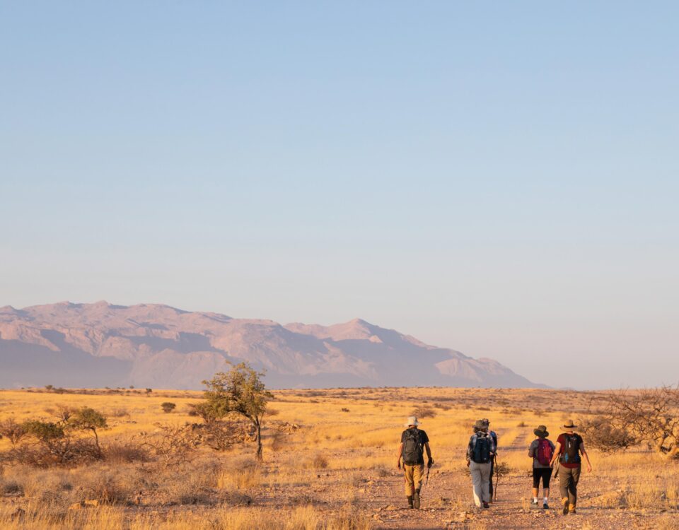
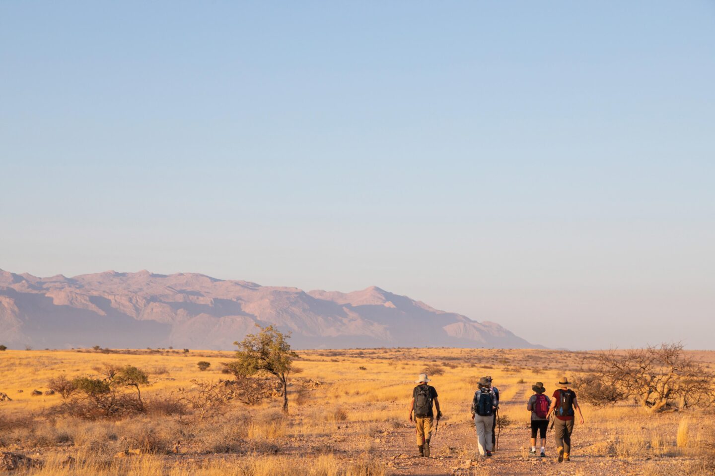
North-west of Namibia. Photo ©Paul van Schalkwyk
SPERRGEBIET
Coastways Tours, located in Lüderitz, takes guests to the Saddle Hill base camp, from where daily 4×4 sightseeing trips are done up and down the coast, viewing shipwrecks and wildlife.
THE COAST
South of Walvis Bay, Uri Adventures offers the Conception Adventure 4×4 Trail (3–5 days).
AUS
Klein-Aus Vista offers a 4×4 route (2–3 hours) in the Aus surroundings (bookings at Klein-Aus Vista or the Aus Info Centre), exploring the succulent Karoo/Namib Desert biome, traversing existing farm roads.
TRAILS IN THE NAMIB-NAUKLUFT PARK
The Topnaar 4×4 Trail/Lüderitz to Walvis Bay Adventure is a joint venture between the Topnaar community and Uri Adventures and is conducted in the area formerly known as Diamond Area No 2. It starts at the Homeb Campsite on the bank of the Kuiseb River in the Namib-Naukluft Park and leads through the Homeb Plains to Lauberville and Sandwich Harbour, ending in Walvis Bay. An extra day can be included to visit Conception Bay with its rich bird life, seal colonies and shipwrecks such as the famous Eduard Bohlen.

Off road driving with Camping car hire
The 73-km-long self-guided Naukluft 4×4 Trail is regarded as the most difficult of its kind in Namibia and one of the most difficult self-guided trails in the world. It takes two days to complete and the overnight camp can accommodate 16 people.There is an overnight stop 30km from Naukluft on the plateau at Tjeriktit, (the Afrikaans name for titbabbler, a common bird of the Naukluft.) Groups may not consist of more than four vehicles and participants must provide their own food, camping gear and spare parts. Firewood is available for sale on location.
TRAILS IN THE HENTIES BAY ENVIRONS
The Brandberg-West 4×4 Route heads from Henties Bay eastwards across the flat Namib plains, runs down a tributary of the Ugab River along the Brandberg-West mountains west of the Brandberg Mountain massif and eventually reaches the Ugab River Camp (Rhino Camp). The Omaruru River 4×4 Route follows the D1918 to Spitzkoppe, heads in a south-westerly direction and enters the Omaruru River at Lêwater. The sand in the riverbed is thick and driving is difficult. This trip should not be done during the rainy season (November to April).
The Welwitschia 4×4 Route runs along the D2303 to the Messum Crater, where some of the biggest and best-preserved specimens of welwitschia grow. The three-day Doros Crater 4×4 Route is unmarked and requires a GPS. It passes through a remote area of north-western Damaraland and should be undertaken only by experienced 4×4 drivers. The Messum Crater 4×4 Route follows the C34 in a northerly direction and is good for viewing lichen fields and welwitschias.
The Central Damaraland Minerals Trail, which introduces the geology of the Namib Desert, requires a minimum of two vehicles or the services of a local tour guide. The Salt Mine Route centres around an old salt mine south-east of Henties Bay. Vehicles easily become bogged down along this route. The Ugab Menhir 4×4 Route follows dry watercourses, the Menhir being an enormous solitary rock, about the height of a man, conspicuous in the stark desert landscape.
THE ULTIMATE CHALLENGE
The renowned Van Zyl’s Pass, an extreme four-wheel driving challenge, is not to be attempted by the faint of heart or those not well equipped and experienced. For those who are, it can be traversed in an east-to-west direction, down the pass due to the steepness of the slopes. Although a 4×4 vehicle is also necessary for the alternate routes, they offer much simpler access to the Marienfluss and parties must still be well equipped and self-sufficient, as there are no facilities in the area. The route from Opuwo is on the Kaoko-Otavi road until the Orupembe turn-off where you head north, passing the red drum. Although the route from Opuwo is roughly 300 km, the driving will take you at least a day, possibly two, to complete.