
The Namibia Tourism Board launches Conservation Destination
August 1, 2012A park of superlatives is born – Namib-Skeleton Coast National Park (NSCNP)
August 2, 2012While the Dorob National Park was proclaimed to protect sensitive environmental areas, for the first time in the history of Namibia a park was made available to people for recreational activities (in less sensitive zones).
It is home to Namibia’s fastest-growing towns due to the TransKalahari Highway and the uranium rush, and hosts some of Namibia’s biggest contributors to the GDP, namely mining and fishing.

Map of the park
“The Dorob National Park is managed as a big open system with connections to the marine, coastal and escarpment areas. And the park is managed to prevent and minimise damage to important habitats while aiming for long-term health, productivity and climate change adaption,” says Rod Braby, project co-coordinator of the Namibia Coast Conservation and Management (NACOMA) project.
Prior to independence, an area around Walvis Bay (including the lagoon and Kuiseb delta, but exclu-ding the dune belt up to Swakopmund) was proclaimed as the Walvis Bay Nature Reserve by the Cape Department of Nature Conservation. The protected status fell away when the Walvis Bay enclave was reincorporated into Namibia in 1994.
When the NACOMA coastal parks programme was initiated, the suggested name for the proposed park around Walvis Bay, Swakopmund and including the National West Coast Recreation Area (NWCRA) was the Walvis Bay National Park. This was temporarily changed to the Central Area when the concept of one con-tinuous coastal protected area began to take root in late 2008. After further consultation it was decided to name the central area Dorob National Park.
The park was proclaimed on the first of December 2010 under Government Gazette number 266, in terms of section 14 (2) of the Nature Conservation Ordinance, 1975 (Ordinance No. 4 of 1975).
Extent of park
The Dorob National Park extends southwards from the Ugab River to where it intersects the northern boundary of the Namib-Naukluft Park. Its western boundary is determined by the low-water mark of the Atlantic Ocean on the Namib coast, and its eastern border runs along the eastern boundary of what was called the National West Coast Tourist Recreation Area and the Walvis Bay Magisterial District boundary.

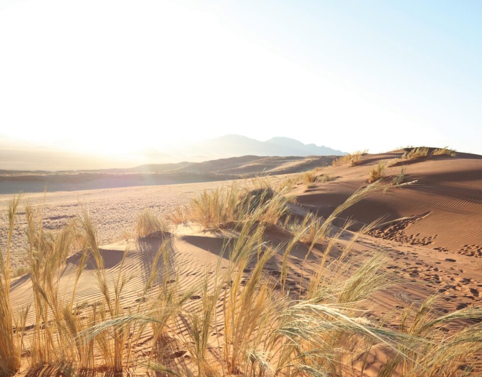
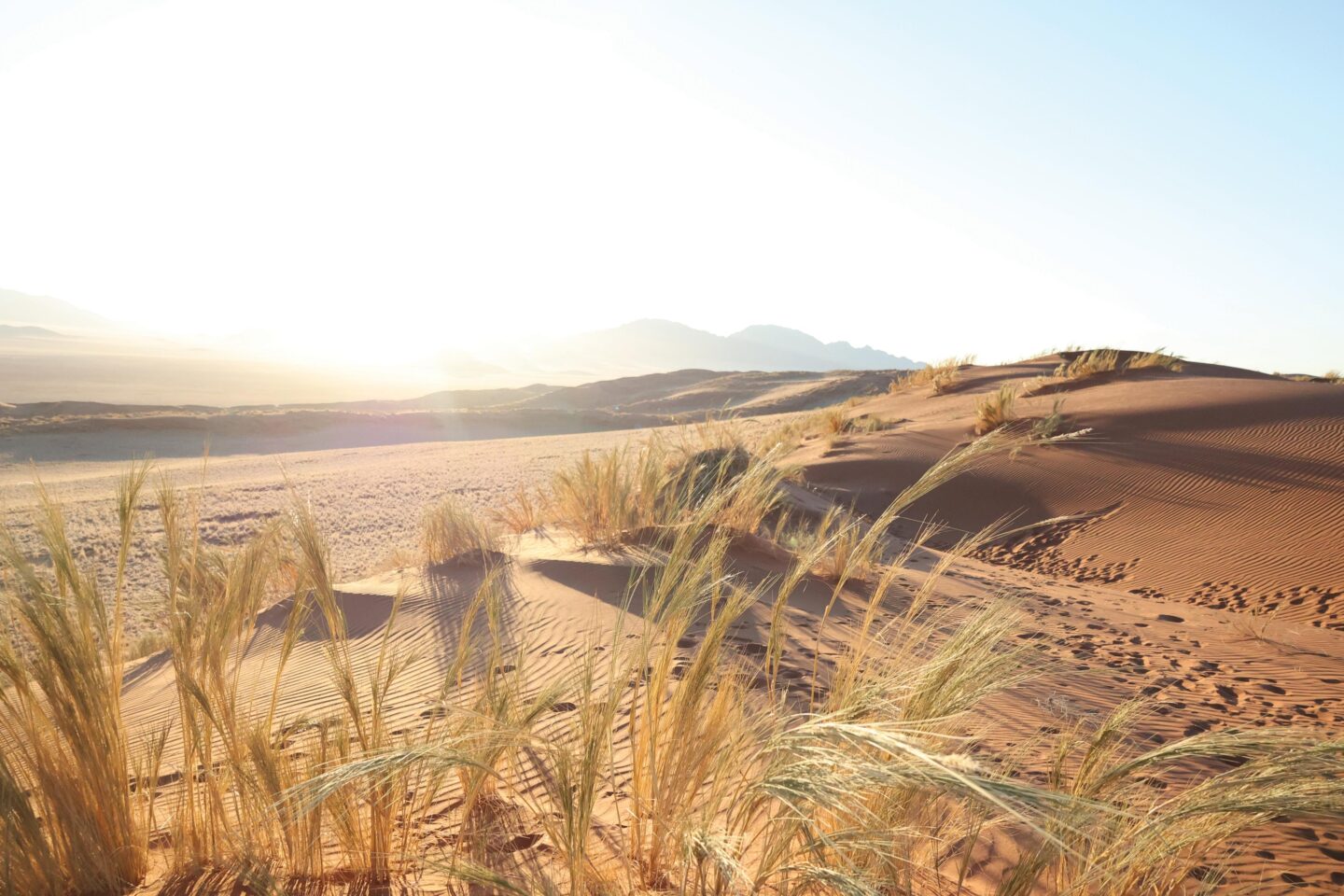
Dune belt between Swakopmund and Walvis Bay
The park includes the Walvis Bay Ramsar Site and the dune belt and gravel plains between the Swakop and Kuiseb rivers west of the Namib-Naukluft Park.
Excluded from the park are the Cape Cross Seal Reserve, Henties Bay municipal area, Wlotzkas-baken Settlement Area and the Swakopmund and Walvis Bay municipal areas. It also excludes the railway line between Walvis Bay, Swakopmund and Arandis, as well as major, minor and district roads within the boundaries. A total of 28 farms and smallholdings situated in the park are also excluded.
The Dorob National Park encompasses a spectacular coastal dune belt, vast gravel plains, Namibia’s richest coastal area for birds, rich botanical diversity, and major ephemeral river systems and their river mouths.
Focal points
Two special conservation focal points in the Dorob National Park are the Damara Tern and its breeding sites, and the lichen fields.
“The Damara Tern is an endemic breeding seabird and a flagship species for coastal conservation efforts in Namibia. But it is highly threatened by coastal development and uncontrolled off-road driving.” Rod Braby and fellow conservationists are happy that the protection of these birds and their breeding sites will be increased by the new park.
Likewise, the core lichen areas in Namibia are now protected by the new regulations and laws. “The Central Namib has some of the most extensive lichen fields in the world, which at the same time enjoy global importance as so-called Important Bird Areas. These areas are extremely sensitive to off-road vehicle activities and mining. Scarring of the lichen fields is permanent.”
Hand in hand with economic development

A jackal in the dunes
Braby says that in the case of the Dorob National Park, conservation and economic development go hand in hand. “Walvis Bay and Swakopmund, which accommodate about 100 000 people, are Namibia’s fastest-growing towns. The main sectors responsible for economic growth are tourism, mining, fishing and shipping.”
One of the unique characteristics of the park is that it caters for people. This came about because traditionally there is a huge influx of holidaymakers over peak seasons. Careful and broad-based consultations in which all stakeholders in the park could give their input took place over two years. The zoning was based on these consultations, allowing holidaymakers to use the park for various recreational activities, but in a more controlled manner to protect sensitive conservation areas. The following areas were included in the zoning: Damara-Tern breeding sites, gravel plains, important birds areas, the Kuiseb Delta, Sandwich Harbour, Swakop River, Tsumas Delta, Walvis Bay Lagoon, birding areas and lichen fields.
Classification according to the IUCN
The zones in the Dorob National Park are classified according to the International Union for the Conservation of Nature (IUCN) as follows:
- An area around Cape Cross is strictly a nature reserve. It is highly sensitive and minimal ORV (Off-Road Vehicle) access is allowed.
- The whole area within the Dorob National Park is regarded as a national park and allows for controlled tourism and conservation.
- The Messum Crater, surrounding area and parts of the Swakop River are regarded as Habitat Management Areas where active management intervention is needed for sustainable practices.
- Big parts of the coastline are classified as Protected Landscapes where the public can enjoy relatively open access.
- The last category is south of Swakopmund, and is described as a Managed Resource. It is managed for sustainable use such as fishing, salt mining, desalination and open access for ORVs.
This article appeared in the Aug/ Sep 2011 edition of Travel News Namibia.