
Stand and deliver – John Kasaona
July 9, 2012Lessons in Conservation – Namibia at the forefront in Africa
July 11, 2012By Mary Seely, Desert Research Foundation of Namibia
“After seven miles ride in the dark, we found ourselves on the brink of a precipice, and we looked down into a black yawning gulf, at the bottom of which, and about six hundred feet below us, glimmered a fire. This was in the bed of the Kuisip.”
Thus wrote James Edward Alexander in 1837 as he described what is now known as the Kuiseb River where its deep canyon lies in the Namib-Naukluft Park. He went on to describe the ‘deep and fearful-looking bed of the river, enclosed with frowning precipi-ces’ and a river which ‘had not run for some time, but in its bed were long pools of water, separated by sand and gravel banks’.
Moving further downstream Alexander described the ‘naras… growing on little knolls of sand’. As an exhausted and thirsty traveller, he ‘seized a half ripe one and sucked it eagerly for the moisture it contained’. Soon thereafter he recorded the observation that ‘little did our friends at home then suppose, that we were delighted beyond measure at finding two little holes full of muddy water’. This water was found near Aban’huas, or Red Bank.
About 14 years later Francis Galton described arising from his hut one morning in the same area and finding lion ‘track[s] all about us’ while visiting Scheppmansdorf (now Rooibank) where a small stream of water flowed on the surface for some months after a flood. Both travellers record their interactions with people ‘speaking the Namaqua language’ described by Alexander as wearing ‘fur-caps, handsome mantels of jackal skins, ivory scoops about the neck, trophy rings of leather around the wrist, the disc or circle of leather in front, and sandals on the feet’. For provisions ‘they carried… nets containing half-a-dozen of the ripe ‘naras fruit, which served them for food and water’.
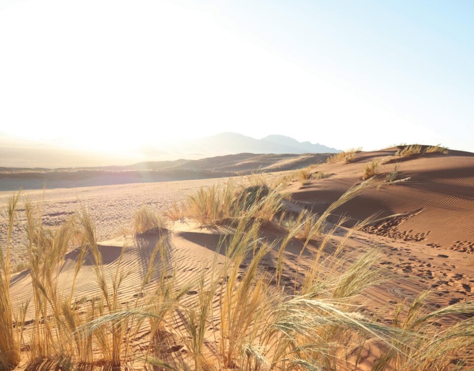
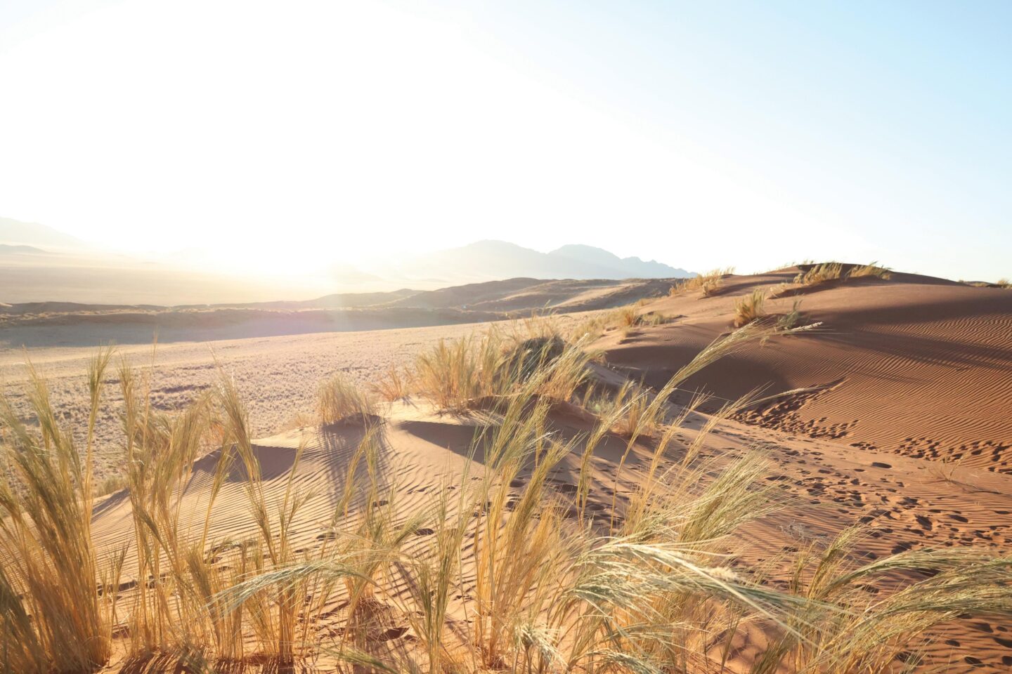
Linear oasis
Today’s visitor to the Kuiseb River in the Namib-Naukluft Park would see more or less the same array of features observed by the two travellers more than 150 years ago. Someone passing through the area would find that ‘trees and grass were plentiful in the broad bed of the river, but no water was seen’. The river still supports a diversity of animals, not the lions and rhino noted long ago, but gemsbok, baboons and a great variety of smaller creatures – birds, reptiles, insects – that attract the modern ecotourist. You might also stop at the canyon lookout point and gaze down into the ‘devil’s den’ as described by Alexander. And lower along the river’s reach you might meet members of the Topnaar community, whose livestock browse the ana tree branches and pods.
Whether a modern tourist travelling by 4×4 or an intrepid explorer in an ox wagon, few grasp the long history of the people attracted to this linear oasis, an attraction which probably stretches back at least several hundred thousands of years. It is also sobering to consider the key role that the Kuiseb River plays, despite its severe scarcity of water, in modern Namibia.
The Kuiseb River stretches for 420 kilometres from the interior of Namibia to the coast. It arises in the Khomas Hochland, passes down the Great Western Escarpment and flows through the Namib-Naukluft Park between the Namib dunes on the south and the gravel plains on the north toward the Atlantic coast near Walvis Bay. Today, less than 50 000 people live within this river basin, yet it supports Namibia’s major port. The ‘two little holes full of muddy water’ noted by Alexander were an indication of the alluvial aquifer which currently has sufficient water to supply the port town and, previously, also the town of Swakopmund and Rössing Uranium Mine.
But, as noted so eloquently by Alexander, water remains scarce throughout the lower Kuiseb River course. The few early residents used water from temporary surface pools or hand-dug wells. Then, as the port of Walvis Bay became established at the turn of the last century, residents collected brackish water from Sandfontein, five kilometres from town in a northerly delta arm of the Kuiseb, and transported it in big barrels to use for washing.
Fresh water shipped from Cape Town every five weeks was said to fetch the same price as gold. Sheppmannsdorf, the site of the first mission in the lower Kuiseb that was visited by both Alexander and Galton, was soon recognised as a potential source of water for the coast. When the border between German and English territory was being disputed before World War I, Rooibank was the key point of contention. Today’s bulk-water supply for Walvis Bay, centred at Rooibank, depends on a series of wells extending over 30 kilometres along the lower Kuiseb River alluvial aquifer and into fossil channels underlying the dune sea.
Scarcity of water, punctuated by the occasional abundance of water when the river floods, has remained a theme of existence along its course. In 1934, major floods inundated Walvis Bay and drinking water was in short supply. As a response, a diversion wall was built in 1962 to protect the town. Large flows, such as occurred in 1963 and 2000, no longer reach Walvis Bay, but they interrupted the electricity supply used to pump the water to town. More water in the river – less to drink in town.
Pioneer committee
The Kuiseb was one of the first rivers to be encountered by early European explorers in Namibia. Today it still chalks up firsts. Established under the new Water Act, it is the first river-basin site in the country with a Basin Management Committee. This pioneer committee involves people living in the area and using water from the Kuiseb. It means the usually scarce and occasionally over-abundant water is being managed to ensure its best use. Water recycling has been introduced to Walvis Bay and semi-purified water is now used for public gardens and other green spaces. Variable tariffs for different consumers and quantities have been introduced and water losses are monitored. For at least a decade, despite a 5% annual population increase, the amount of fresh water abstracted and used by Walvis Bay – the largest consumer in the Kuiseb Basin – has been almost constant.
Supporting the committee are researchers based at the Gobabeb Training and Research Centre on the banks of the Kuiseb River. They descend into Alexander’s ‘devil’s den’ to find evidence of massive floods that have left their records over the past tens of thousands of years. They bury sensitive probes into the dry sand of the riverbed to track floodwaters as they recharge the alluvial aquifer. And they work with committee members to develop a water management plan for the entire basin. Scarcity and over-abundance, the Kuiseb River’s theme, will probably never change, while people continue to adapt as best they can to its ongoing rhythms.
This article appeared in the 2007/8 edition of Conservation and the Environment in Namibia.