
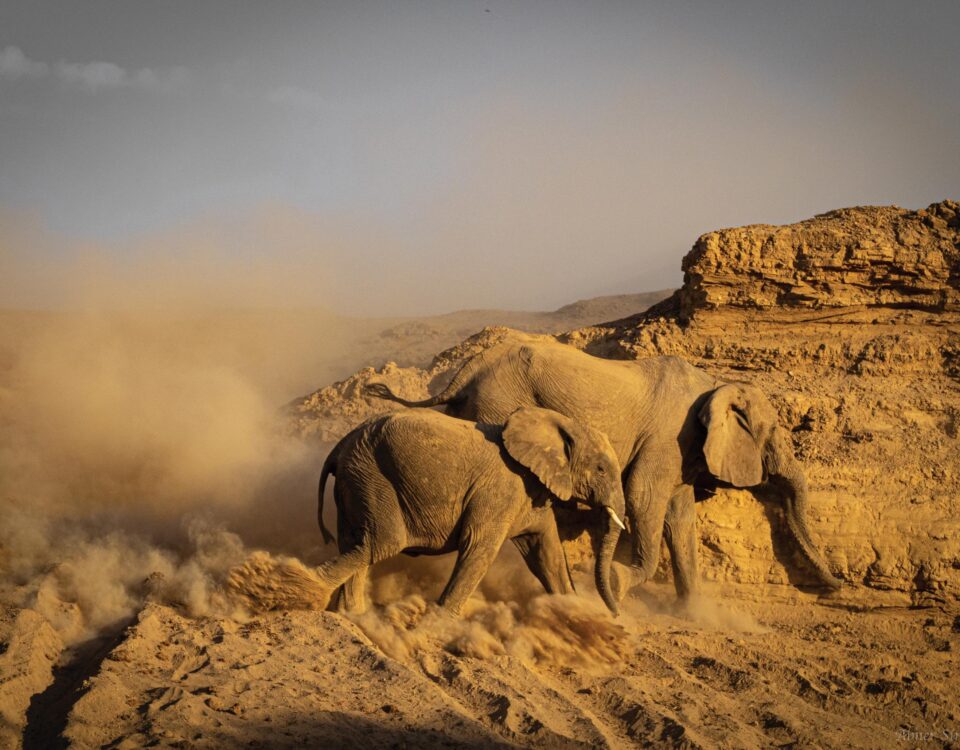
Okavango River Basin – Best practice for managing transboundary waters
July 15, 2012Providing financial management services throughout Namibia
July 15, 2012by John Mendelsohn, RAISON
In a spate of rash madness, Drs Bert Toxopeus (of ITC, now the Faculty of Geo-Information Science and Earth Observation of the University of Twente in The Netherlands) and Chris Brown (then the head of the Directorate of Environmental Affairs at the MET) hatched a plan to produce an environmental profile of the Caprivi Region. That was in 1996, 15 years back.
After two years’ experimenting to work through technical challenges such as using satellite images to produce sensible maps of vegetation and soil types, as well as months of agonising navel gazing to work out what the profile should sensibly say, An Environmental Profile and Atlas of Caprivi was published in 1997.
Since then, the Namibia Nature Foundation (NNF) has supported the production of many more profiles, either by commissioning their production or through providing various kinds of support. Each profile was designed to produce a synthesis of what was known about the subject, as well as assemble whatever other information was also available. Two products were thus produced by each profile project: a published book and a compendium of data.
To date, other profiles produced include ones on the four central-northern regions of Namibia (2000), the eastern communal areas of Namibia (2002), the Okavango River Basin (2003), the Kavango Region (2003) and, most recently, the Okavango Delta (2010). Other profiles have also focused on key sectors in Namibia: Woodlands and Forestry (2005), Health (2001), Farming Systems (2006), Human Demography (2010), and Poverty (2011).
The support and vision of donors and collaborators on Namibia’s various profiles is to be commended, and the books and data assembled will remain as legacies of their support for many years to come.
Perhaps Namibia’s biggest profile was published in 2002: An Atlas of Namibia: a portrait of its people and land. This profile was accompanied by a compilation of data, mainly consisting of all the mapped information in GIS databases, and has been a valuable resource for many across the country. As an example of its popularity and value, the Atlas has been reprinted three times, while most of the other profiles are now out of print, although available free online at Namibia’s environmental information service (EIS) – www.the-eis.com.
Importantly, hundreds of copies of all the profiles have been distributed free of charge to schools, libraries and other bona fide users, while many copies- have been offered for sale to help ensure they were available to a broad audience. The value in sharing such information more widely and now free online is something the NNF and its partners are proving to be priceless as a resource tool.
In 2007, the NNF, collaborating with NamPower, decided to develop a strategic partnership and support an effort to bring together all the digital data assembled by the profile projects (and many others) and to make these freely available on the web. As highlighted above, the result is Namibia’s EIS, which is available online at: www.the-eis.com.
All the geographical profiles focusing on regions of the country adopted a ‘supply-and-demand’ approach. This involved first describing and mapping the presence of natural resources and then overlaying information on demand, typically as measures of human and livestock numbers. These overlays provided opportunities to identify areas where pressures were higher or lower, for example areas of woodland which might be severely exploited by large numbers of people who require firewood or wood for building materials.
To obtain such measures of human demand, methods were developed to map and thus count individual households throughout the regions being profiled. These demographic data, and others assembled by the profiles projects, have proved valuable to all sorts of development projects, such as ones planning roads or the supply of water and electricity. From the beginning it was decided that all profile data should be made available to anyone and every-one for free, irrespective of the intended use. This meant that planning and other development projects could save considerable sums of money by using the existing profile data. Estimates made of the value of these ‘free data’ showed that the savings made by the country were considerably greater than the total amounts initially invested on compiling the data and publishing the profile books.
This is one measure of the value of the profile projects. It is much harder to guess the degree to which information in the published books has been useful, but continuing demands for the books suggests that they remain useful resources. Although hard copies on paper are no longer available, PDF copies of most of the books can be obtained online. The support and vision of donors and collaborators on Namibia’s various profiles is to be commended, and the books and data assembled will remain as legacies of their support for many years to come.
This article appeared in the 2012 edition of Conservation and the Environment in Namibia.